Introducing geospatial data

Andrew Radcliffe at Spyrosoft describes the business benefits of geospatial data
In today’s data-driven world, geospatial data has emerged as a powerful resource for businesses seeking to gain a competitive edge.
This type of data, tied to specific physical locations, provides insights into patterns, trends, and spatial relationships, enabling organisations to make informed decisions. For instance, indoor mapping can significantly enhance customer experiences in large retail spaces or airports by providing real-time navigation assistance to help users locate services, stores, or amenities more efficiently.
From optimising operations to enhancing customer experiences, geospatial data offers benefits across a wide range of industries. Below, we explore the many advantages of geospatial data, highlighting how it can be harnessed to drive growth and innovation.
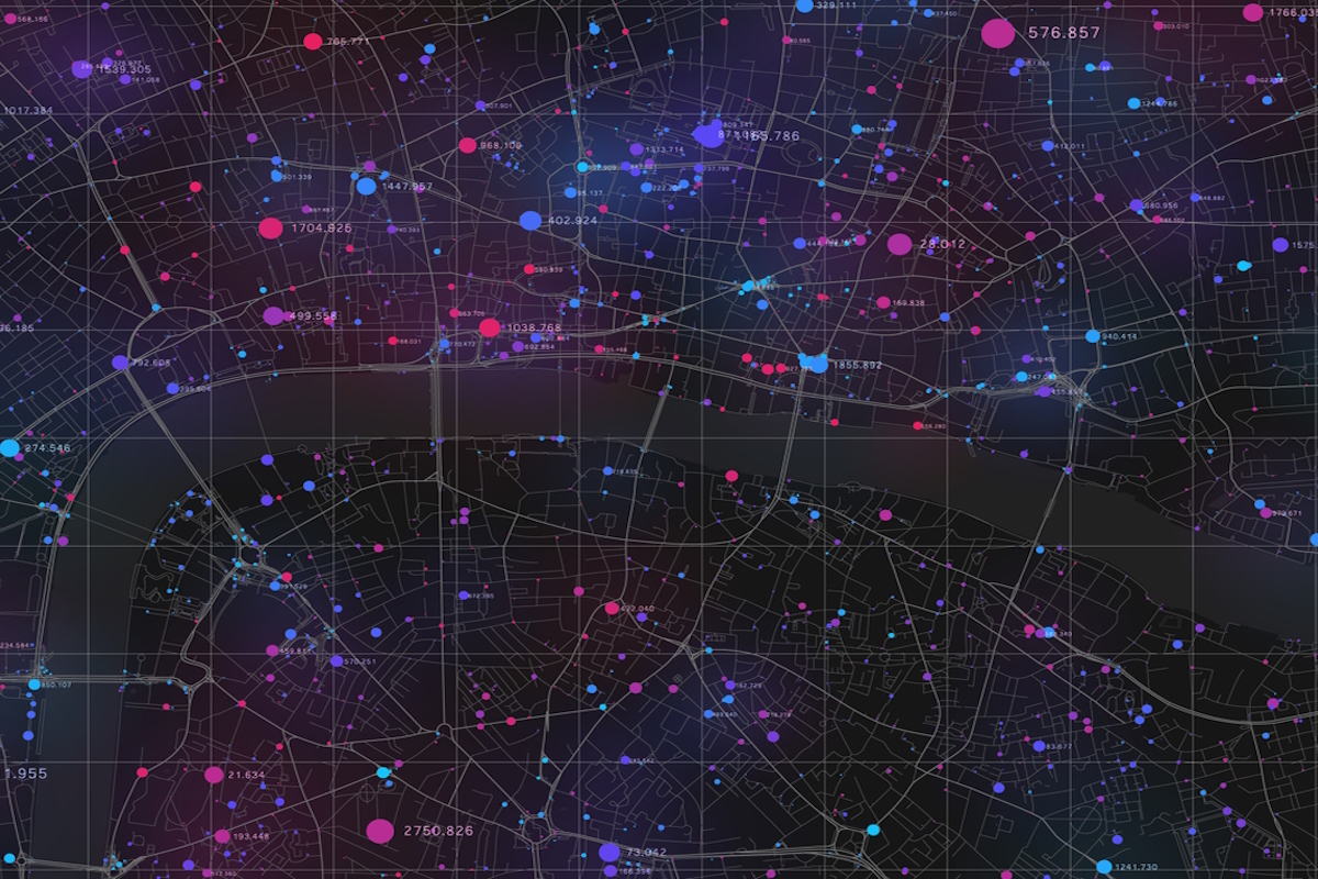
Location intelligence refers to the valuable insights gained by layering and analysing various geospatial datasets in conjunction with each other. By combining information such as demographic data, environmental factors, transportation networks, and market trends, businesses can create a comprehensive view of their operational landscape.
This visualisation of interconnected data helps organisations identify patterns and correlations that might not be evident when examining individual datasets in isolation. For instance, a retail company could analyse customer demographics alongside traffic patterns to determine optimal store locations or tailor marketing strategies that resonate with specific audiences.
Ultimately, location intelligence empowers businesses to make data-driven decisions that enhance operational efficiency, improve customer engagement, and inform strategic planning.
Enhanced decision-making
Geodata allows organisations to make more informed decisions by analysing spatial relationships and patterns. This ability to visualise data geographically provides a fresh perspective that traditional data formats often cannot deliver.
For example, retailers can identify prime store locations by evaluating factors such as population density, foot traffic, and proximity to competitors. Similarly, real estate firms use geospatial insights to assess property values by considering nearby amenities, transport links, and environmental conditions. Healthcare providers also leverage geospatial data to map disease outbreaks, allowing for better resource allocation and targeted interventions.
This enhanced decision-making capability ensures businesses can act strategically, improving their chances of success in competitive markets.
Risk management and disaster preparedness
Geodata is a critical tool for assessing risks and planning responses to emergencies.
By mapping hazards and vulnerabilities, businesses can minimise potential losses and ensure continuity. Insurance providers use geospatial data to analyse risks such as flood zones, earthquake-prone areas, or wildfire hazards. This allows them to tailor policies and premiums more accurately.
Governments and organisations leverage geospatial data to monitor natural disasters, predict their impacts, and coordinate evacuation plans. For example, during a hurricane, spatial data helps identify the most vulnerable areas and deploy resources effectively. By integrating geospatial insights into risk management strategies, businesses can safeguard their assets and respond proactively to threats.
Sustainability and environmental monitoring
In an era where sustainability is a top priority, geospatial data offers actionable insights for managing resources and reducing environmental impact. This data helps organisations operate responsibly while achieving their business goals.
Farmers use geospatial data to monitor crop health, optimise irrigation systems, and predict yields, promoting more sustainable farming practices. Energy companies analyse geospatial data to identify optimal locations for wind farms, solar panels, or hydroelectric plants. This ensures maximum efficiency while minimising environmental disruption.
By integrating geospatial data into sustainability initiatives, businesses can balance profitability with environmental stewardship.
Innovation through advanced technologies
The integration of artificial intelligence (AI) and machine learning (ML) with geodata has revolutionised its applications, the birth of GeoAI, making it easier for businesses to process complex datasets and uncover actionable insights.
AI and ML algorithms can extract features, classify data, and predict trends with greater speed and accuracy than manual methods. For example, a retail chain could use predictive models to anticipate footfall patterns and stock products accordingly.
Advanced technologies enable organisations to analyse live data streams, such as traffic conditions or weather updates, and respond instantly to changes. These advancements allow businesses to stay ahead of the curve, turning geospatial data into a strategic asset.
Seamless collaboration and accessibility
Geospatial data facilitates collaboration across teams and stakeholders by providing a shared visual framework for analysis and decision-making. With the rise of cloud-based GIS platforms, this data is now more accessible than ever.
Cloud solutions allow teams to access geospatial data from anywhere, enabling real-time updates and remote collaboration. Urban planners working on a smart city project can share spatial data with engineers, architects, and policymakers to ensure alignment.
Many geospatial initiatives also require input from various fields, such as environmental science, urban planning, and data engineering. Collaborative platforms ensure seamless integration of expertise, leading to more robust solutions. By embracing collaborative tools, organisations can break down silos and foster innovation.
Competitive advantage
Finally, businesses that effectively harness geospatial data gain a significant competitive advantage. Whether through improved decision-making, operational efficiency, or customer engagement, these organisations position themselves as leaders in their respective industries.
Companies that leverage geospatial data to enhance the customer experience or optimise logistics are better equipped to meet consumer demands. Developers and city planners using spatial data can design more efficient and sustainable projects, setting them apart in a crowded market. By staying ahead of technological trends and integrating geospatial data into their strategies, businesses can achieve lasting success.
Geospatial data is no longer just a niche tool for mapping or navigation; it has evolved into a powerful driver of business innovation and growth. By optimising decision-making, improving efficiency, and uncovering customer insights, geospatial data enables organisations to adapt to a rapidly changing world.
Moreover, its applications in risk management, sustainability, and collaboration make it indispensable for long-term success. To fully unlock its potential, businesses must invest in high-quality data, advanced technologies, and interdisciplinary collaboration.
With a strategic approach, geospatial data can transform operations, drive innovation, and secure a competitive edge in the market.
Andrew Radcliffe is CEO and Founder of Spyrosoft UK
Main image courtesy of iStockPhoto.com and GarryKillian

Business Reporter Team
Most Viewed
Winston House, 3rd Floor, Units 306-309, 2-4 Dollis Park, London, N3 1HF
23-29 Hendon Lane, London, N3 1RT
020 8349 4363
© 2025, Lyonsdown Limited. Business Reporter® is a registered trademark of Lyonsdown Ltd. VAT registration number: 830519543


